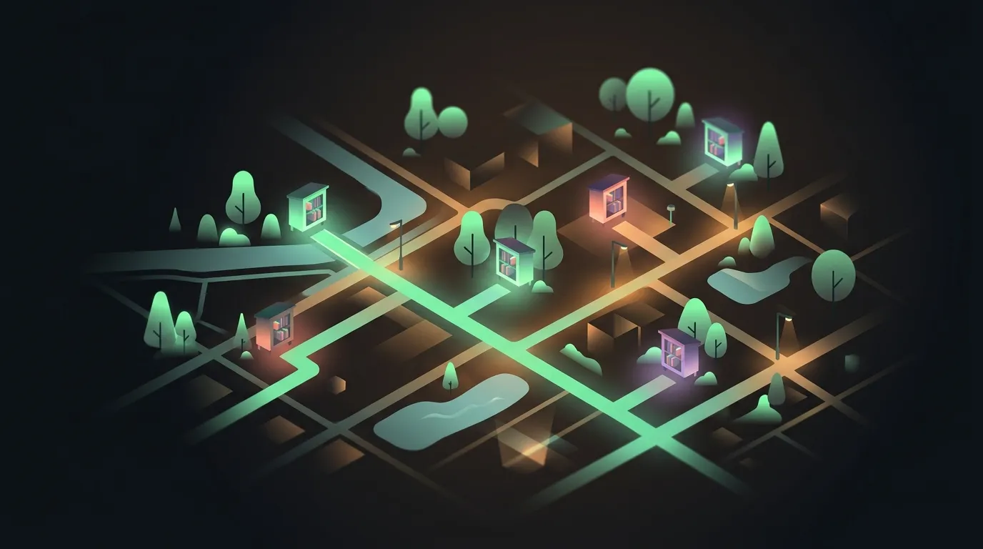

The neighborhood discovery problem
The web is supposedly fully indexed and mapped, but the physical sharing economy still runs on rumor. If you want to find a neighborhood book swap, a little free library, or a repurposed phone box full of paperback thrillers, you are usually left playing a game of street-by-street telephone. You either stumble upon one during a weekend walk, or you download a proprietary, heavily monetized app that turns a simple public box into a marketing vector.
It is an annoying setup for something that should be frictionless. For years, finding these spots meant navigating outdated blog posts or dealing with directories that lock public data behind restrictive licensing. When a community wants to map something as basic as a wooden cabinet on a fence post, they shouldn’t have to pay a toll or use a closed platform.
The real value of these boxes is that they are independent. They belong to the sidewalk, not a single brand’s database. Yet, without a shared, open canvas, tracking them at scale is nearly impossible.
What is Book Corners?
This is where Book Corners fits in. Created by software developer Andrea Grandi, Book Corners is an open-source, community-driven platform built to discover, map, and catalog neighborhood book-swap boxes globally. It is designed to be brand-neutral and open to any informal, neighborhood-managed, or public book box, regardless of country or sponsor.
Instead of starting with an empty map and hoping for early users to manually add every single location, Grandi bootstrapped the database. He extracted over 37,000 public book boxes already logged in OpenStreetMap (OSM) data. This gave the platform an immediate, global footprint on day one.
Today, that database continues to expand as readers submit new spots, upload photos, and update details. The web platform and its iOS companion app are fully open-source, meaning the data and the tools used to view it remain public resources.
How it maps: EXIF parsing and community updates
The onboarding flow for adding a box is built around reducing friction. If you are out walking and spot an unmapped library, you don’t need to manually drop a pin or copy-paste street names. You just snap a photo on your phone and upload it.
The backend automatically parses the image’s EXIF metadata, pulls out the embedded GPS coordinates, and places the marker on the map. If you are uploading a photo that has had its metadata stripped, or if your camera app doesn’t have location permissions enabled, you can still manually click the map to place the marker. A reverse-geocoding lookup then fills in the address fields for you.
Every book swap on the site gets a dedicated detail page. This page holds:
- Crowdsourced photos that help you identify what the box looks like from the sidewalk.
- Geospatial and address data, including explicit tags for accessibility details like wheelchair access.
- A community feedback loop where neighbors can report if a library has been broken, relocated, or completely removed.
To prevent spam and clean up inaccurate placements, submissions undergo a brief community moderation check before they go live on the public map. For developers, Grandi also exposed an open API, letting anyone query local coordinates to build their own custom maps or integrations.
Open stack vs. brand-locked directories
To understand why this is a massive win for the indie web, you have to look at the alternatives. The dominant player in this space, the official Little Free Library organization, runs a proprietary registry. To get on their map, you have to pay a registration fee, purchase a branded plaque, and accept their restrictive database terms. If you want to query their dataset, build custom front-ends, or integrate their coordinates into your own self-hosted dashboard, you are out of luck.
By contrast, Book Corners is built as an open, public utility. The web application runs on Django, backed by a PostgreSQL database with PostGIS for spatial queries. The frontend uses Leaflet to render the maps. By relying on OpenStreetMap tags (like amenity=public_bookcase), the platform uses open standards and feeds its updates back into the global map data pool.
This open-stack approach changes the ownership model of local data. Instead of local reading spots being treated as private intellectual property, the physical location of a neighborhood bookcase remains what it was always meant to be: a public good. If Book Corners ever goes offline, the community still owns the data, and any developer can fork the code on GitHub to spin up a replacement in an afternoon.
Where the map loses its way
No community project is without its rough edges. The moment Book Corners hit the front page of Hacker News, developers noticed a common mapping bottleneck: OpenStreetMap background tiles were failing to render for some users. The issue stems from OSM tile servers blocking requests that lack proper Referer headers or exceed fair-use limits. When you are hosting a self-funded mapping tool, paying for premium map tile endpoints is a quick way to run out of hosting budget, leaving you to balance user traffic against free tier rate limits.
There is also a physical cold-start problem. Seeding the database with 37,000 OpenStreetMap nodes gets you plenty of pins, but a pin without a photo or detail description is just a coordinate. If you zoom into a city that hasn’t had an active Book Corners steward, you’ll see dozens of unverified markers.
Finally, a digital map can only do so much to solve a physical curation problem. As community librarians in the comments pointed out, neighborhood book boxes are prone to collecting junk books (think outdated tax guides, textbooks from 2004, and water-damaged paperbacks). While the software provides a clean interface and smooth EXIF metadata parsing, the actual utility of these spots still depends entirely on physical humans walking down the street to prune the weeds.
Who should start mapping
If you are looking for an excuse to get your steps in, Book Corners provides a practical, low-stakes reason to explore your neighborhood. You can pull up the map on your phone, find a cluster of unverified nodes, and set off with your camera app ready. Taking and uploading a few photos does more than just populate a website; it helps build out a public ledger of independent reading spots.
For box owners and neighborhood coordinators, it is a way to announce your local box without subscribing to a closed network or buying a specific brand’s plaque. You get a dedicated URL to share with neighbors, a place to upload fresh photos, and a channel to request maintenance help or book donations.
Finally, if you are a developer looking for a straightforward, real-world geospatial project to contribute to, both repositories are welcoming pull requests. You can explore the Django backend to help optimize database queries, or play with Swift on the iOS client. Either way, it is a neat chance to build software that actually gets people outside.